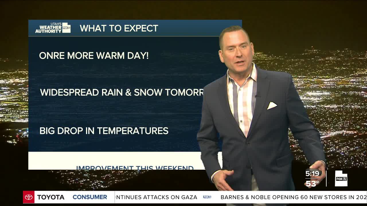

One more day before a storm moves in, so some warm weather to get over the mid week hump! Clouds will increase today with a slight chance of mainly high-based showers that could bring some gusty winds if they pop up.
A cold front will bring widespread valley rain & mountain snow to Utah Thursday & Friday. The heaviest snow will be across Central & Southern Utah. Most accumulation will be above 5,000 to 6,000 feet and will likely make for winter driving conditions over the higher mountain routes.
Be prepared for much colder weather over the next few days. Luckily, it'll dry out and warm up a bit after the storm moves out this weekend.
SALT LAKE CITY
Wednesday: Partly cloudy with a slight chance of PM showers. Highs: Low 70s.
Wednesday Night: Mostly cloudy with rain showers likely after midnight. Lows: Mid 40s.
ST. GEORGE
Wednesday: Partly cloudy. Highs: Low 80s.
Wednesday Night: Mostly cloudy in the evening, then clearing overnight. Lows: Mid 50s.
