



Another beautiful early fall day!
It's going to be warm and dry across most of the state today and through the weekend. The exception will be SE Utah where isolated showers & thunderstorms could pop up over the mountains.
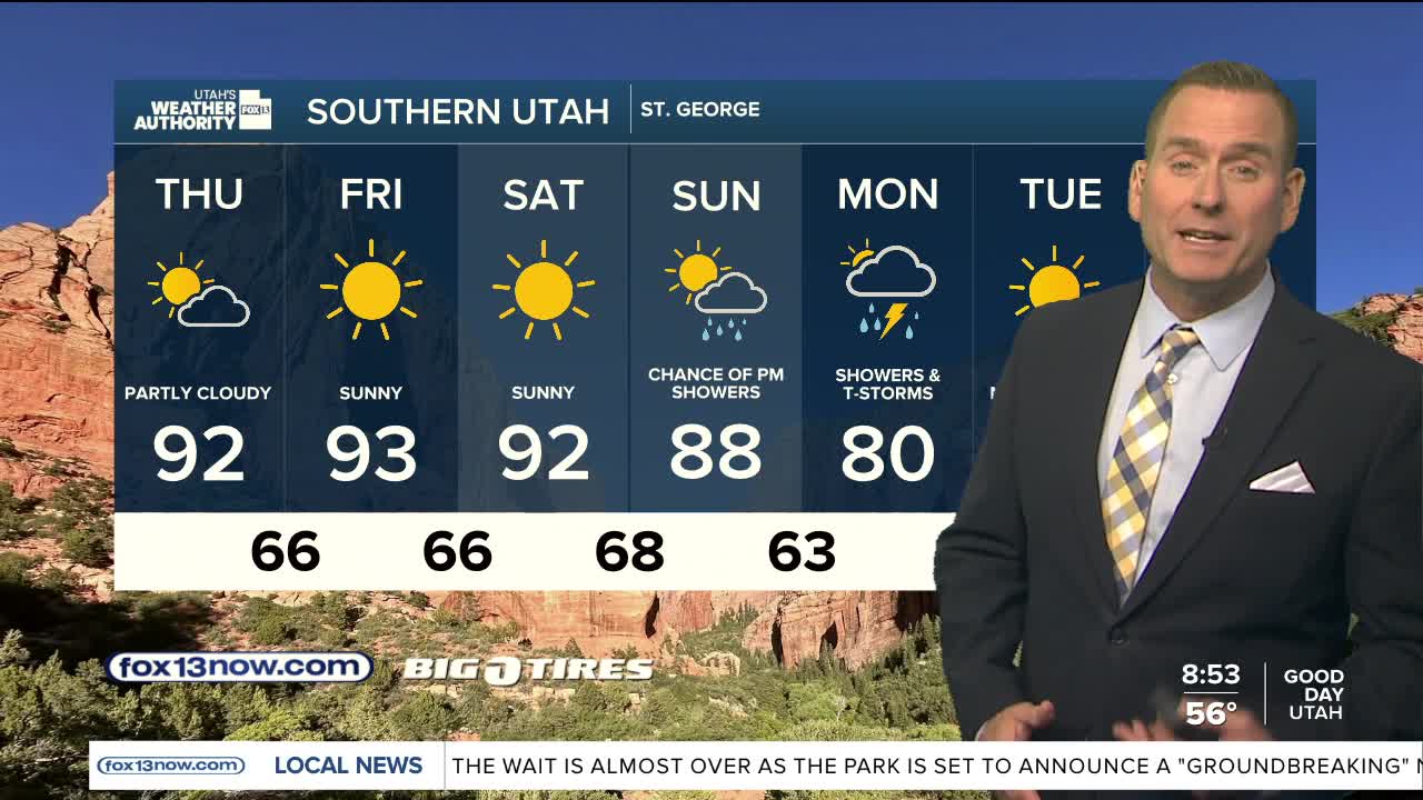
More widespread precipitation is likely early next week. If the storm taps into tropical moisture, heavy rain will be possible and could lead to flash flooding. At the very least, it'll be showery & about 10 degrees cooler.
SALT LAKE CITY
Thursday: Mostly sunny & slightly warmer. Highs: Near 80.
Thursday Night: Partly cloudy. Lows: Mid 50s.
ST. GEORGE
Thursday: Partly cloudy. Highs: Low 90s.
Thursday Night: Partly cloudy. Lows: Upper 60s.