

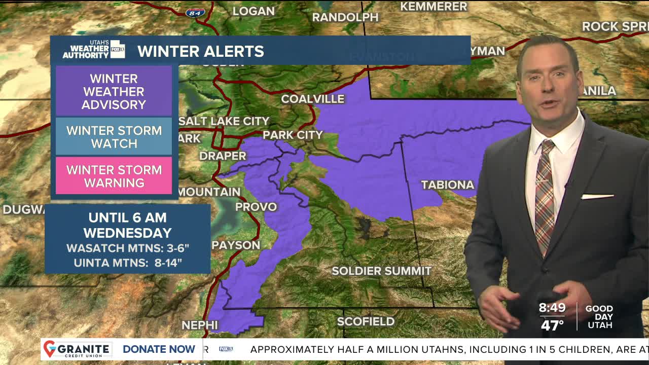


Grab a good jacket as well as the umbrella!
A slow moving storm will keep it cool & wet with widespread valley rain & high elevation snow. Isolated thunderstorms are still possible and could bring heavy rain at times, although the threat isn't as high as the last couple days.
As cold air spills in, snow levels could drop near 7,000 ft. Flurries are possible even lower, but most accumulation will be above 9,000 ft. where there could be another 8-14 inches in the Western Uintas with another 3-6 possible in the Wasatch. Temperatures in some outlying valleys in rural areas could drop below freezing tomorrow morning.
The storm moves out tomorrow with warmer, dry weather expected for the second half of the week.
SALT LAKE CITY
Tuesday: Showers likely along with isolated thunderstorms. Much cooler. Highs: Near 50.
Tuesday Night: Scattered showers & cooler temperatures. Lows: Near 40.
ST. GEORGE
Tuesday: Numerous rain showers & isolated thunderstorms. Highs: Near 60.
Tuesday Night: Mostly clear & cooler. Lows: Mid 40s.