

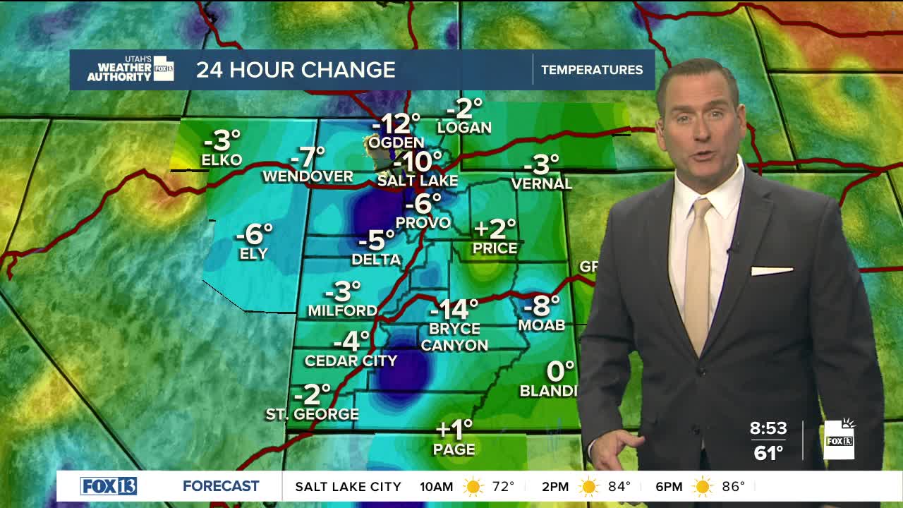


It's going to be sunny, warm, & breezy across Utah at least through Friday!
South winds of 10-20 mph are expected in most valleys, but will be increasing to 20-30 mph across Western Utah and could gust up to 35-40 mph. Fire danger will increase there, but after recent rains, fuels aren't as dry as they were even a couple weeks ago. Unfortunately, the combination of gusty winds and low relative humidity has led to a Red Flag Warning for SW Wyoming from noon to 9pm today.
Moisture from a hurricane will bring another round of wet weather over the holiday weekend! As of now, it looks like a southerly flow will tap into moisture from Hurricane Marie in the Eastern Pacific. Humidity will increase on Friday, but widespread showers & t-storms will likely hold off until Sunday.
Hopefully we'll hang onto sunshine on Saturday. But with the possibility of heavy rain, flash flooding will become possible by Sunday & Monday. The biggest threat will be across Central & Southern UT.
SALT LAKE CITY
Thursday: Sunny & breezy. South winds 10-20 mph late morning through afternoon. Highs: Mid 80s.
Thursday Night: Mostly clear. Lows: Mid 60s.
ST. GEORGE
Thursday: Sunny. Highs: Mid 90s.
Thursday Night: Mostly clear. Lows: Upper 60s.