

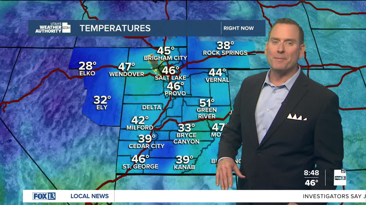


We're not done with the wet weather yet, but we are on the tail end of the storm.
The slow-moving system will gradually move east of Utah today, but moisture wrapped around it will keep a chance of more valley rain & mountain snow showers going. Precipitation will be decreasing across much of the area, but linger through tonight across eastern Utah. Upslope flow along the back side of the departing storm will also bring periods of snow through this evening along the north slopes of the Uintas where another couple inches are possible.
Below freezing temps are possible in some rural valleys overnight. Otherwise, high pressure building in from the west will bring sunny, warmer weather for the rest of the week and through the weekend.
SALT LAKE CITY
Wednesday: Partly cloudy with 20% chance of isolated rain showers. Highs: Mid 50s.
Wednesday Night: Mostly clear & cold. Lows: Near 40.
ST. GEORGE
Wednesday: Sunny. Highs: Near 70.
Wednesday Night: Mostly clear. Lows: Upper 40s.