

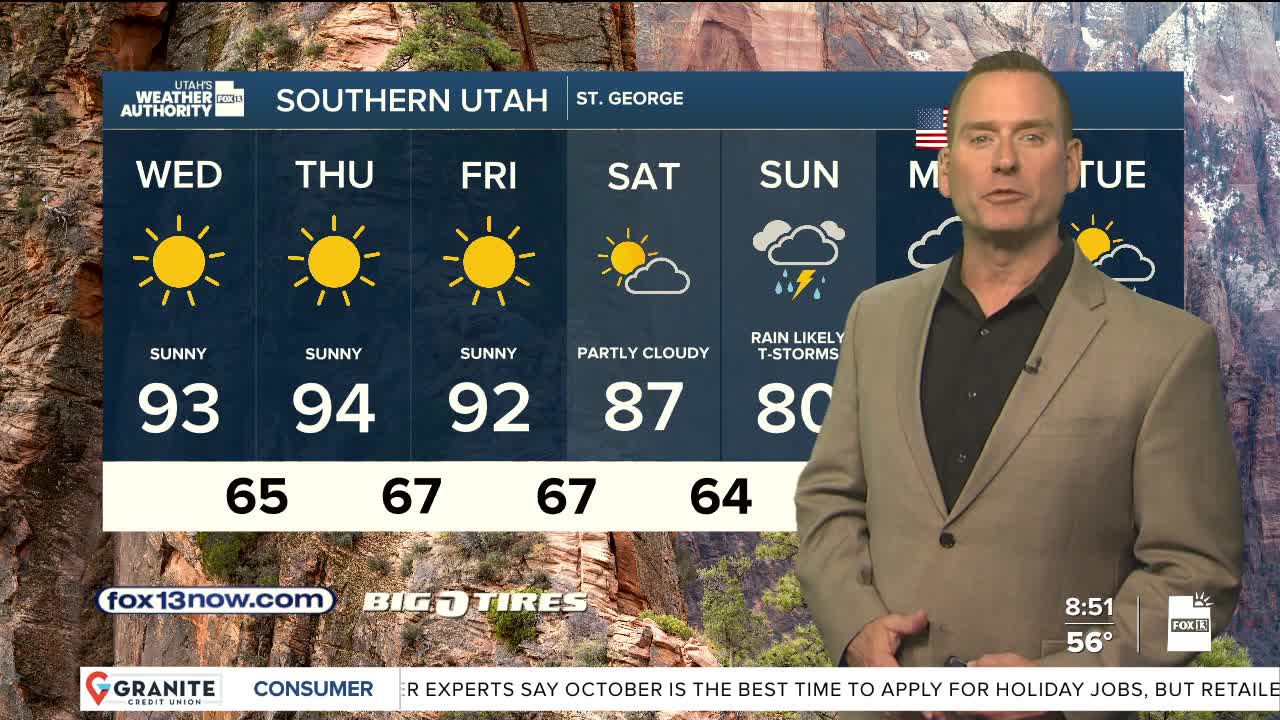


Great weather to get over the mid-week hump!
Sunny & warm for the rest of the work week with just a slight chance of showers & t-storms over the mountains, mainly in eastern Utah.
Take advantage of the warm weather! A strong, cold storm combined with tropical moisture will bring the threat of widespread heavy rain from late weekend into early next week. The heaviest precipitation will be across central & southern Utah where 1 to 2 inches are possible. As a result, the flash flood threat will increase early next week. If you have outdoor plans this weekend, it's a good idea to have a back-up, especially on Sunday.
It's going to get a lot colder with temperatures falling about 20 degrees lower by Monday & Tuesday. Snow levels could drop down to about 8,500 feet.
SALT LAKE CITY
Wednesday: Sunny & warmer. Highs: Low 80s.
Wednesday Night: Mostly clear. Lows: Upper 50s.
ST. GEORGE
Wednesday: Sunny & very warm. Highs: Low 90s.
Wednesday Night: Mostly clear. Lows: Mid 60s/