

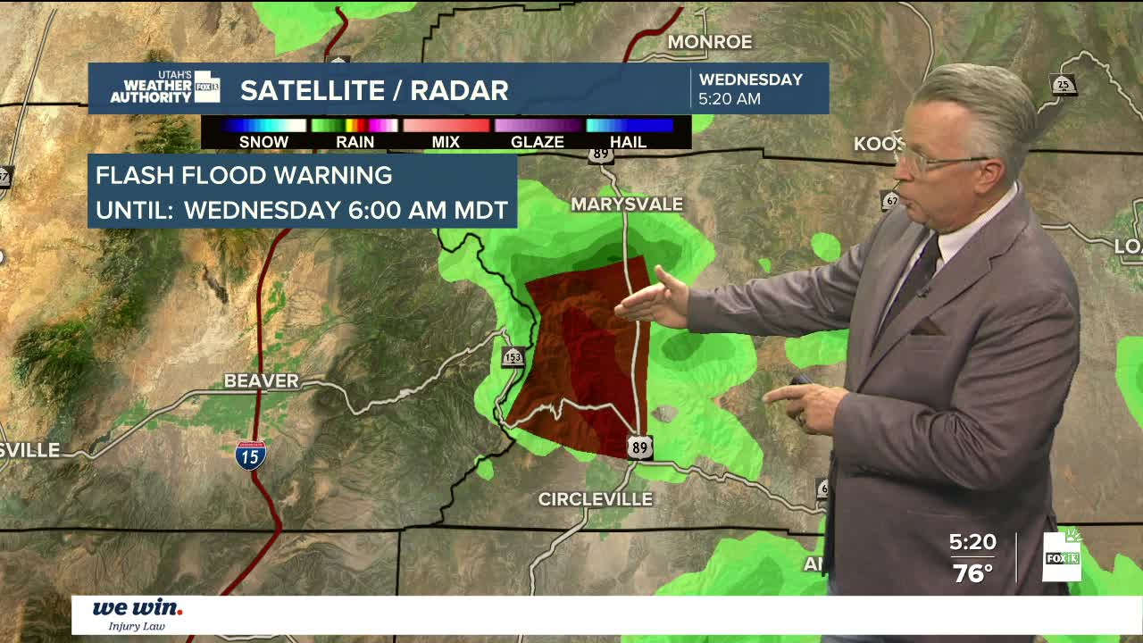

Weather Summary:
Monsoon moisture spreading further with more impact across northern Utah. Thunderstorms more widespread for the Wasatch Front on Wednesday. Elevated risk for flash flooding will be effect for Wednesday across central and southern Utah. The flow of moisture moves eastward as we move closer to the weekend with a drying trend. Temps will climb, returning to triple digits.
St. George
Wednesday: Partly cloudy slight chance for rain. High-100
Wednesday Night: Mostly clear. Low- 81
Thursday: Mostly sunny. High- 104
Salt Lake City
Wednesday: Partly sunny with a chance of thunderstorms. High-93
Wednesday Night: Partly cloudy, 30% chance of rain. Low- 72
Thursday: Mostly sunny. High-94