



The last weekend of August will be a stormy one!
Scattered showers & thunderstorms will develop over the mountains today and be more likely than yesterday to drift out over the valleys. Some storms across the north could become strong to severe this afternoon & evening, with very strong wind gusts possible. If you have outdoor plans, keep an eye on the sky and make sure you have shelter nearby.
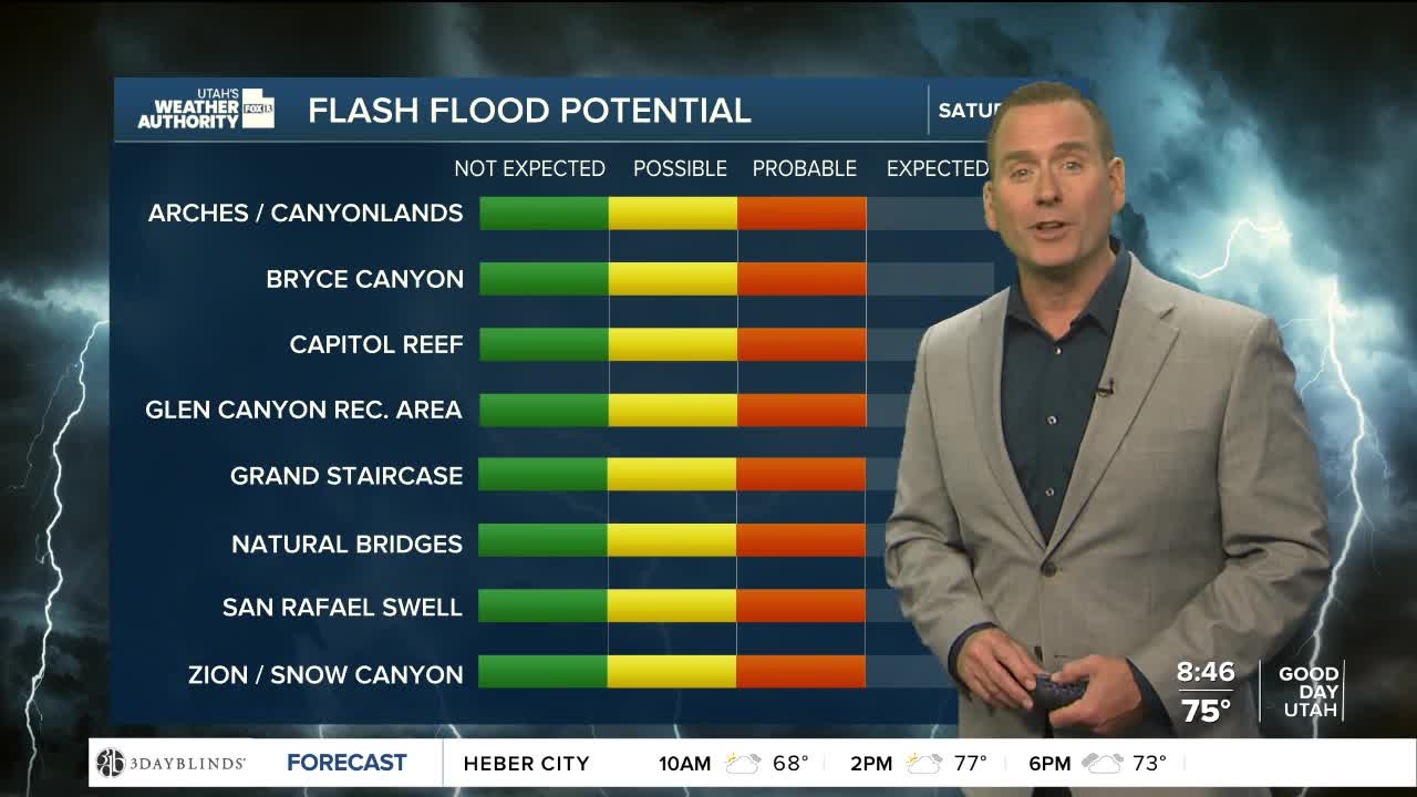
Showers & t-storms will be even more likely over the weekend, mainly across Northern & Central Utah. With deep moisture in place, heavy rain is possible and will keep the flash flood potential high.
A cold front will slide across the state later this evening through Saturday, with temperatures dropping well below average this weekend. We'll get a break from the late summer heat & hopefully the high electric bills!
SALT LAKE CITY
Friday: Mostly cloudy with a few showers possible in the morning, then about a 30% chance of showers & t-storms in the afternoon. Highs: Near 90.
Friday Night: Rain likely along with a chance of t-storms. Much cooler. Lows: Mid 60s.
ST. GEORGE
Friday: Partly cloudy & still hot with a slight chance of showers & t-storms in the afternoon. Highs: Near 103.
Friday Night: Mostly cloudy with showers & t-storms possible. Lows: Upper 70s.