
SALT LAKE CITY — After brief flirtations with cooler weather over the last few weeks, it's officially time to get those sweaters out of storage as a storm is bring much colder temperatures and snow to northern Utah.
LIVE: Check out a view from Solitude Mountain Resort, where it appears winter has arrived!
TRACK THE STORM: Get real-time storm information by downloading the FREE Utah Weather Authority app
Snow in being seen in the mountains as low as 5,000 feet with showers accompanying the system out of the Pacific Northwest. By Thursday afternoon, there's a chance for snow to mix in with some rain in the northern valleys.
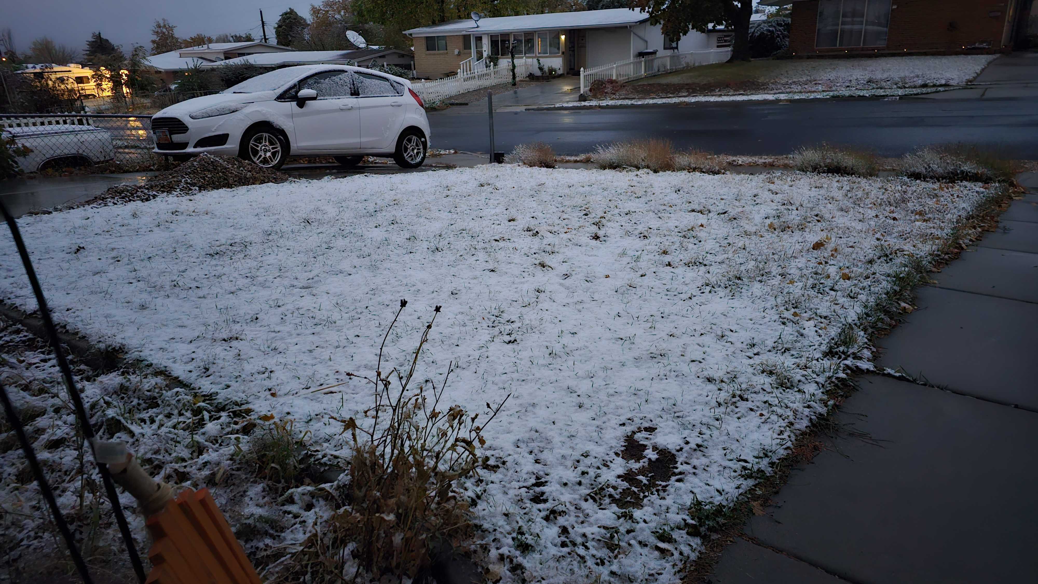
On Thursday morning, mountain areas woke up to a generous dusting of snow. Some Tooele residents also saw their front lawns dusted in white!

Brighton Resort shared a video of snow dumping down in Big Cottonwood Canyon, saying it may be the largest preseason storm so far this year.
THE FAUCET HAS TURNED ON 🚰❄️🌨️ The storm has started up here in Big Cottonwood Canton and this looks like it could be our biggest one of the preseason so far. What’s your guess on how much snow will fall? pic.twitter.com/ev6PYfLFAR
— Brighton Resort (@BrightonResort) October 26, 2023
For the most part, rain was the theme of valley areas, making for especially slick conditions during the morning commute.
Crashes dotted major freeways in northern Utah as drivers headed out for the morning commute. Roads are wet, so it's advised to slow down and leave extra space between cars. The Traction Law is currently in place for both Big and Little Cottonwood canyons.
A Winter Weather Advisory has been issued for much of northeastern Utah from midnight until 4 p.m. Thursday, and areas such as Alta could receive as much as 12 inches of snow and up to 8 inches in the western Uinta Mountains.
Thursday morning, rain poured down across the Wasatch Front along with the cold temperatures, making for some slick conditions on the roads.
Much colder temperatures will tag along with the rain and snow, with the National Weather Service forecasting high temperatures up to 15 degrees below normal in northern Utah valleys, with freezing temperatures and frost by Friday morning.
A Freeze Watch has been put into effect from late Thursday through Friday morning for the following areas:
- Tooele and Rush Valleys
- Eastern Box Elder County
- Northern Wasatch Front
- Salt Lake Valley
- Utah Valley

Temperatures in the low 30s are likely overnight Friday and through the morning, and things won't get too much warmer over the weekend with temps not expected to break 50 degrees.
It's been six months since Utah experienced a big chill. The last time the northern part of the state registered temperatures below 40 degrees was back on April 26.
The forecast low for Monday morning is 29 degrees, although conditions will warm up slightly at the beginning part of the week.
